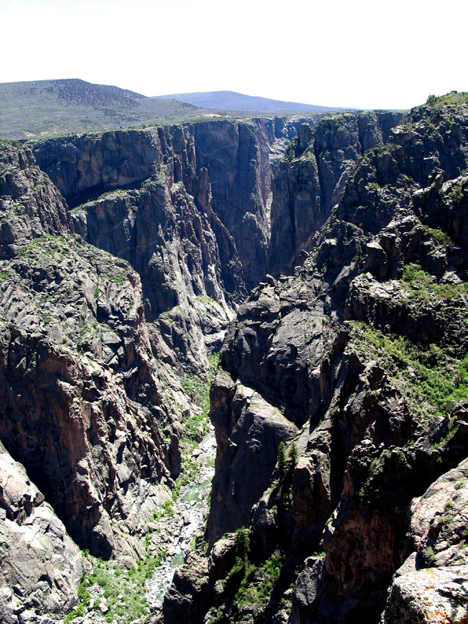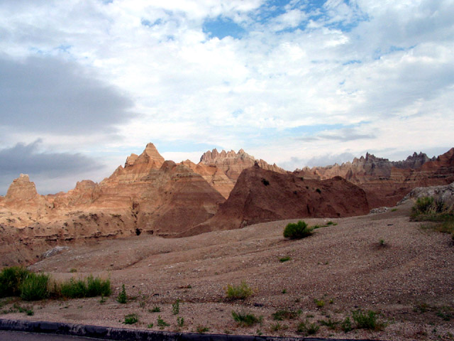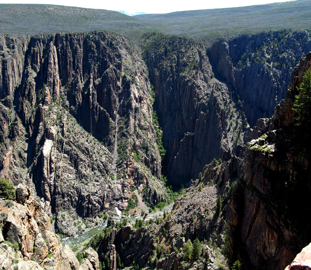
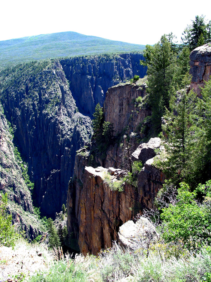
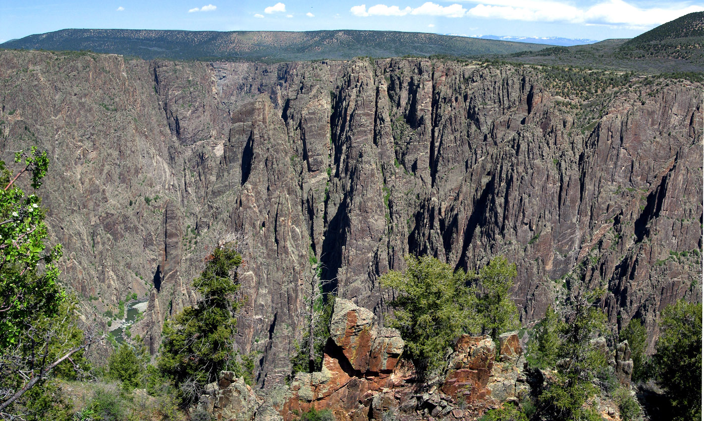
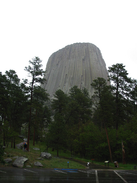
 Black Canyon of the Gunnison National Park 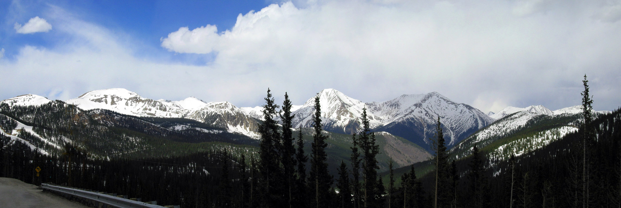 Monarch Pass 11, 312 feet (the highest elevation of the trip) and the Continental Divide 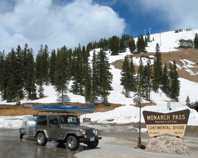

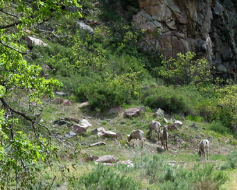 Monarch Pass and mountain Sheep along side the road |
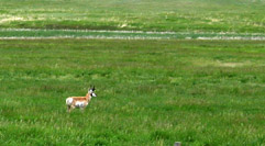
On the eastern slope I picked up the *Arkansas River which I eventually followed all the way to Wichita, KS on US-50 and US-54. Some where along the eastern slope I saw about a half dozen mountain sheep along the road and before arriving in Pueblo I saw about a dozen antelope. * FYI – Anyone one growing up in Kansas pronounces the river’s name as the Ar-kan-zes River (like our state). Everyone else in the world calls it the Ar-kan-saw River (like the other state). |
|
May 16 - The day started out okay but by the time I reached the Kansas boarder the wind was brutal! It would have been bad in a normal vehicle but in a Jeep pulling a trailer with a 17’ kayak on top the 35+ mph side winds from the south were horrible! I had to keep a death grip on the steering wheel to keep it from being pulled out of hand. I had followed the Arkansas River from it’s near infancy all the way to Wichita. About 5:00 that afternoon I called my sister. Me, “Hey Sis, what is the wind like there?” Kathy, “Oh, its really bad.” Me, “I just can’t take it any longer. I’ve gotta stop for the day.” Kathy, “I understand. Where are you?” … I honk my horn. … Kathy, “What was that sound?” Me, “I’m waiting for someone to come to the door.” Kathy, “huh?” Me, “I’m in your driveway.” Kathy, “You brat (or something to that effect).” |
||
 Botanica |


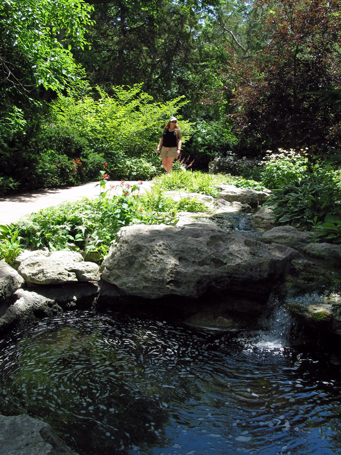
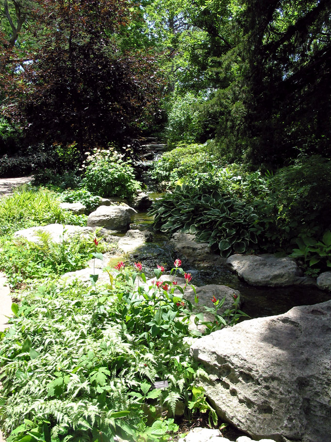
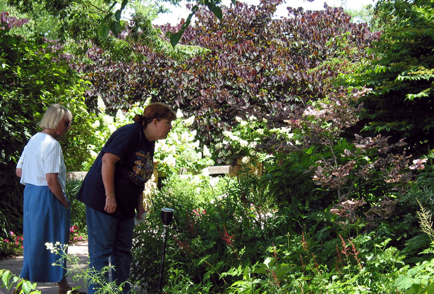
 Wichita River Walk |
|
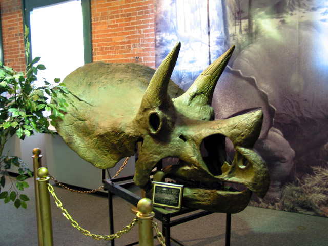
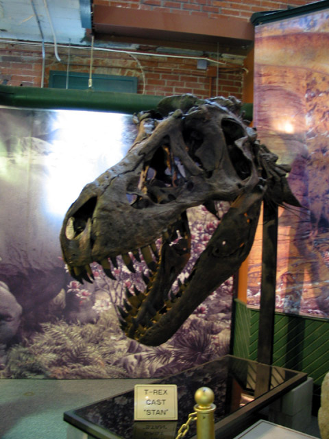

World Treasures Museum |
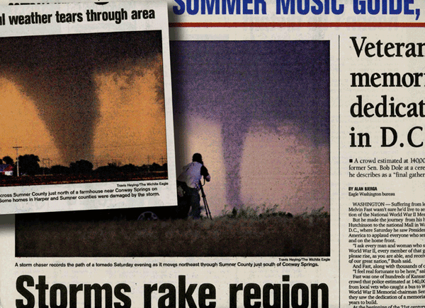
Memorial Day and Tornados in the news |
|
|
|
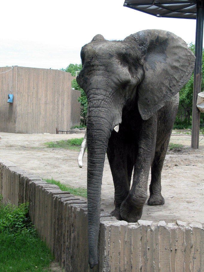
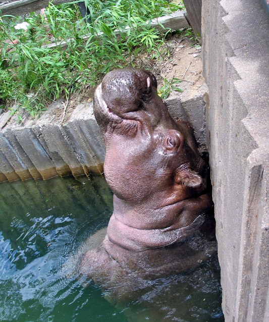
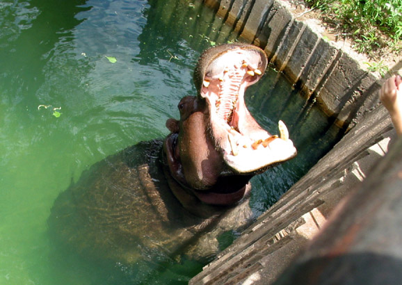
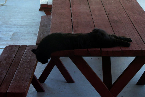 Sedgwick County Zoo & Oscar in his favor place with his head hanging off the edge of the picnic table. |
|
|
We also stopped at
the big Cabela’s outdoor store, Kansas Speedway (beautiful track),
Fort Odesa, and tried to go to the Truman Home but it was under security
because Kerry was coming through. ... Thanks for a great time! |
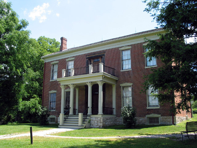 |
June 4 - I left Kansas City going east on US-24 east to the site of the Lexington Civil War battle. Oliver Anderson’s mansion was the site of a 3 day bloody back and forth battle. I took the tour of the home (I was the only person on the tour) lead by a Jamaican lady who had served in the US Armed Forces (interesting). |  |
|
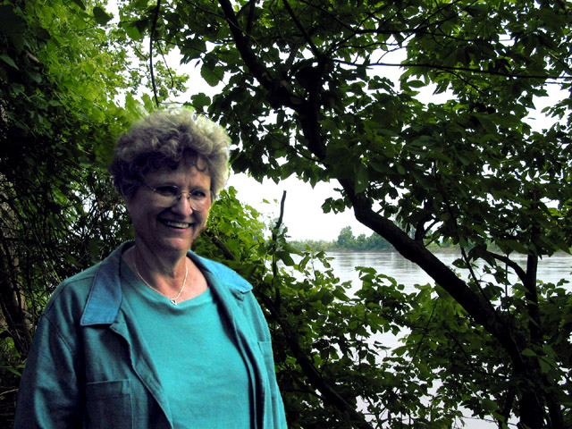
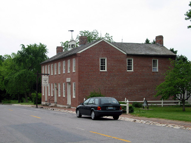
As we talked about history and genealogy she just about hit the ceiling when I told her I was going to Büdingen, Germany later this year. Büdingen is where she was stationed overseas. She couldn’t believe that anyone in the US had heard of this small town. It was a fun tour and a great talk about Germany. I continued on US-24 east to SR-23 down to I-70 and finally Sweet Springs. There I met Betsy Stuerke (a.k.a. TCOR [Third Cousin Once Removed]) and when out for a great BBQ dinner in Concordia. |
|||
|
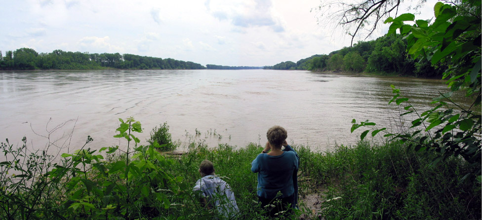
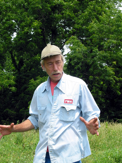
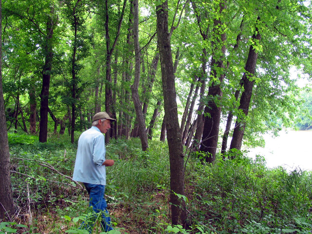
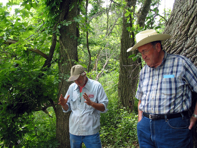
That was a fun and interesting morning we spent with Joe. We drove to Arrow Rock for lunch in an old tavern and later saw the Wall farm that was owned by Richard Wall (son of Preston) which is today owned by Betsy Stuerke (aka TCOR). My GGG Grandfather, Preston Wall, purchased this land from the widow of the William Ashley. |
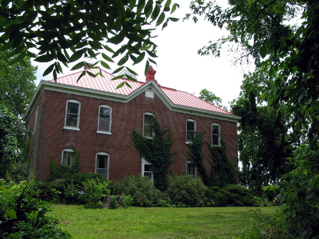
The Wall family home no longer is standing but it 'probably' was located where I was standing to shoot this photo of the current home. The photo on the right would be the location of the orignial home. |
|
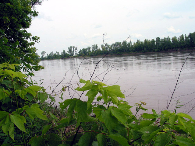
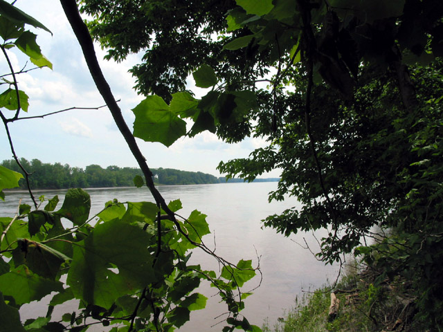
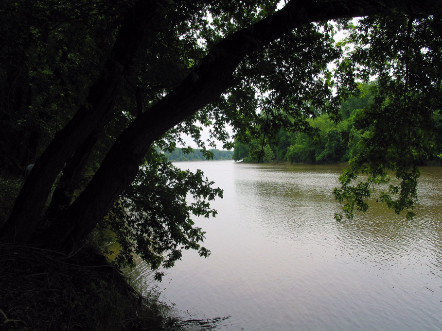
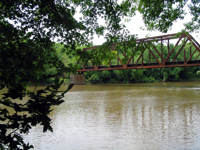
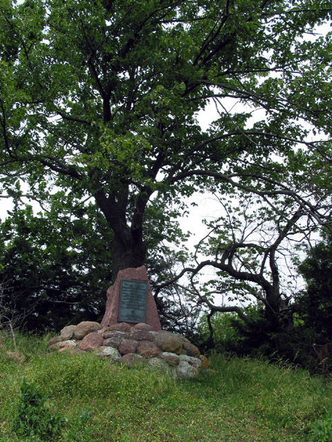
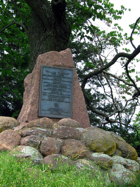
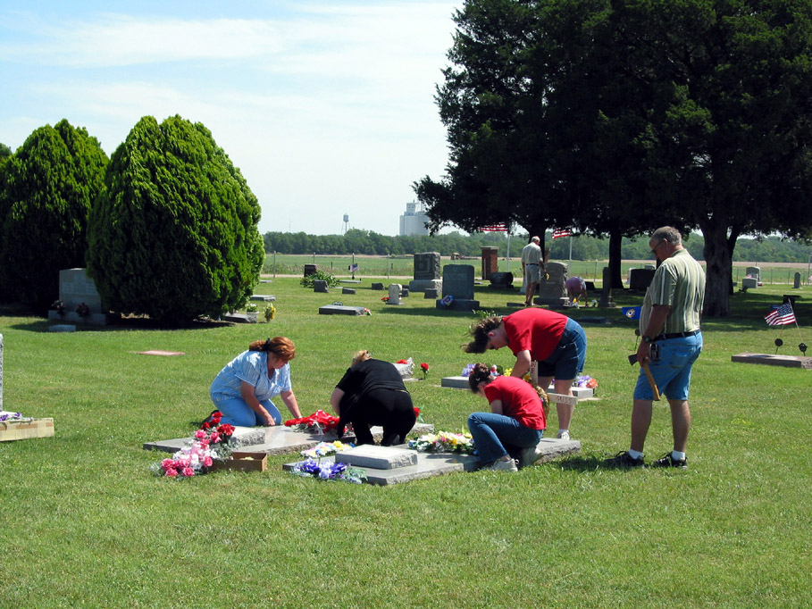
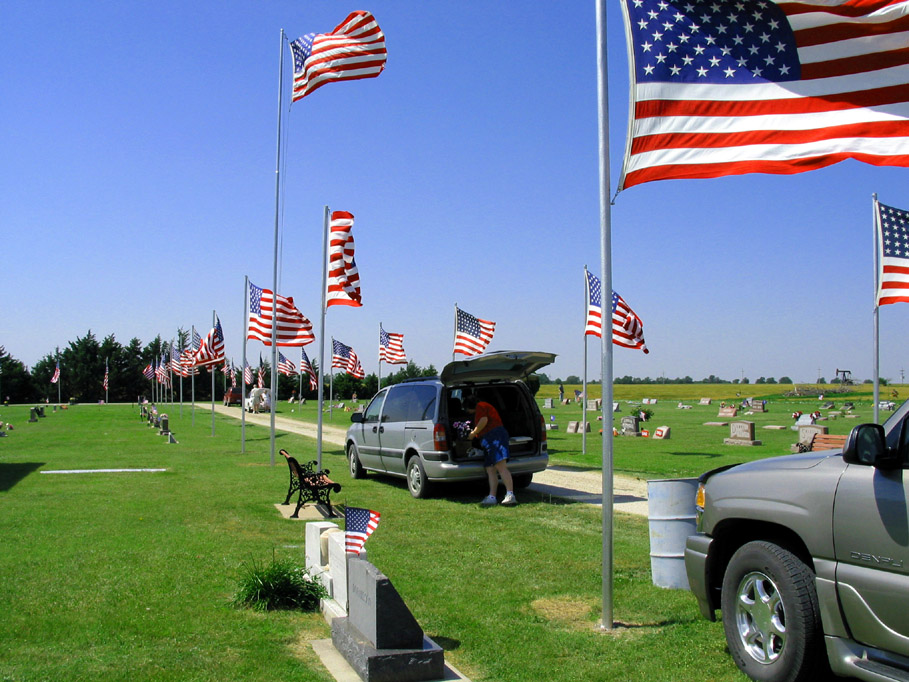
| The land deed states that one acre where William Ashley is buried and a right-of-way passage to the river will remain in the position of the Ashley family. He is buried standing upright in a small hill overlooking the Missouri River. | |||
|
Ashley's company was the first to depend primarily upon trapping the beaver rather than buying them from Native Americans. May 30, 1823, Ashley and his party of 70 men were attacked by 600 Arikaras. Twelve of Ashley's men were killed and the rest were forced to retreat. He was later elected to the House of Representatives but was twice defeated for the post of governor of Missouri. William died of pneumonia on 26th March, 1838 and is buried on the property. |
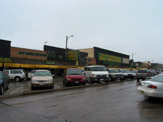
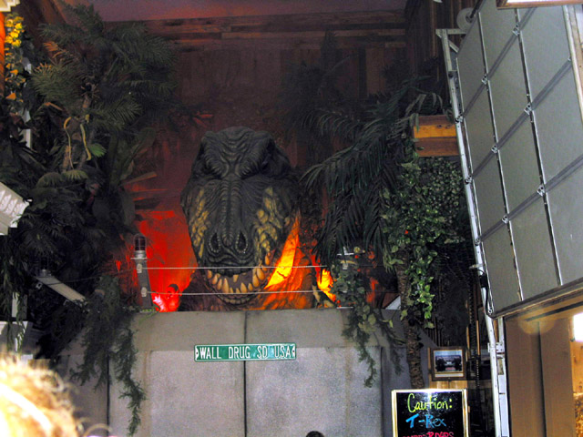
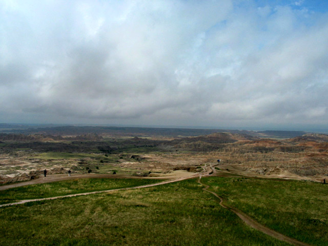
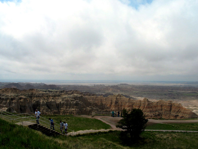
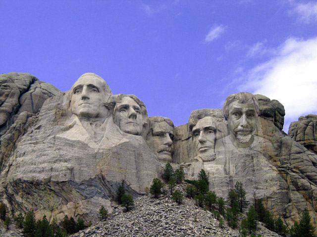
| By the time I got to the Crazy Horse Memorial I was in no mood to pay for a short stop to take a close-up photo. So I parked on the highway and took a snapshot from there. Grumble, grumble, grumble (I’m getting to be an old codger). Then I turned on the radio and heard “A severe thunderstorm with high winds and golf ball size hail is currently passing through Wall, SD.” Holy moly, I got out of there just in the nick of time. “There is a severe thunderstorm and tornado watch in effect tonight in the Grand Rapids area.”Okay, its time to go. The weather was still bright and sunny as I headed up US-395 (beautiful) through Deadwood and on to Sundance, WY. The weather got gray cloudy, windy, rainy, and crummy but the worst of it was definitely to the east and closer to Rapid City. I’m glad I left. | 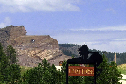 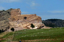 Crazy Horse Monument |

 |
I’d been tracking the weather in Yellowstone National Park since I was in Wichita. It was lousy then and it was STILL lousy. |
| Some of the roads were closed due to snow. All-and-all the weather forecast didn’t sound good. Okay, that’s it. I’ve had it. I’m outta here. I don’t need to travel into more bad weather. Hey, I’m retired and I have 365 days of vacation each year (366 this year). Why go there when the weather isn’t at it’s optimum? There’s always next month or next year. Besides, I think I’m ready to head home. This is enough travel for one trip. | |||
| At this point I made the decision to head-for-the-barn. |
|
| I traveled
on I-90 through Gillette and Sheridan, WY up into Montana and the Little
Bighorn Battlefield National Monument. Maybe it was just that I didn’t
have any big “expectations” but I truly enjoyed this monument
(obviously much more than Gen Custer did). It is very well presented and
gives a good idea of what happened on that fateful day. There are markers
approximately where each man fell. Therefore it is easy to look out over
the landscape and see the course of the battle. June 12 - I woke up in Billings, MT with a rash on my arm that itches like crazy. What the? Did I catch something in the hot tub? This is really nuts. Oh well, I try to put it out of my mind and keep heading westward. I traveled west on I-90 through Missoula, Deer Lodge, and Wallace, ID where I stopped, visited Patti’s Uncle Gregg, and had dinner at the Jameson before heading off to Spokane, WA for the night. June 13 - The final day was a blast across I-90 back to Seattle. It was a good trip. I’d love to do parts of it again BUT in the end I must confess. I love foreign travel more. NO I don’t love foreign countries more. I love foreign travel more. I like stepping out of my comfort zone and being enveloped by a foreign country, foreign language, different currency, foods, animals, and customs. I love America and want to see more (and I will) but the rest of the world is calling me. |
||
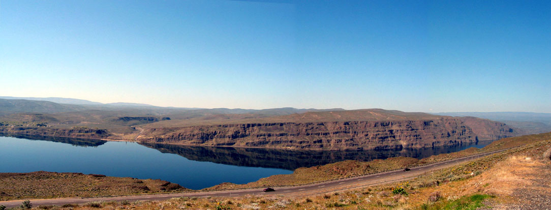
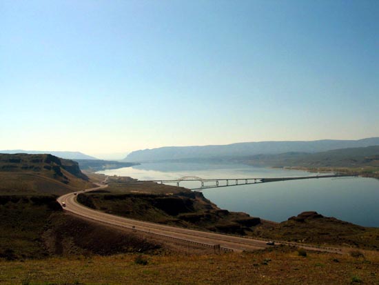

Columbia River Gorge |
||
|