Page 1 | Page 2 | Page 3 | Page 4

 
May 7 - I left town going south on Boulder Highway, turned east onto East Lake Mead Dr (SR-41A) and SR-167 through Lake Mead National Recreation Area. This was a pleasant drive. Not too many breath taking views but it had its eye-catching features and was enjoyable none the less.
Oasis in the Lake Mead National Recreation Area
 

Pipe Spring National Monument
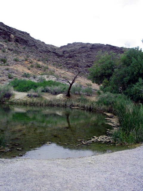
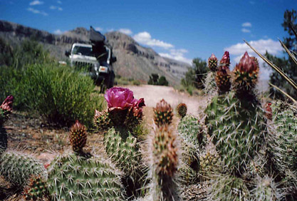
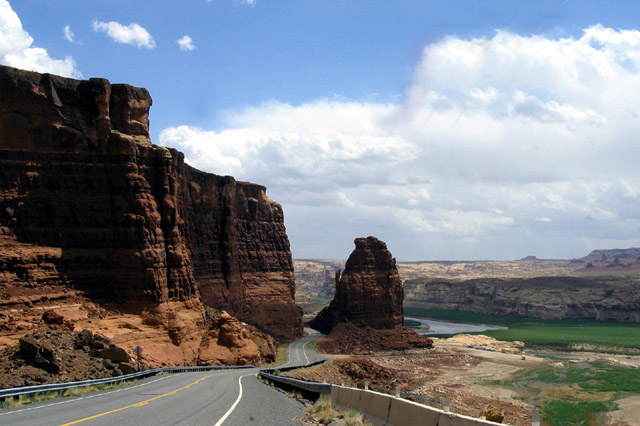
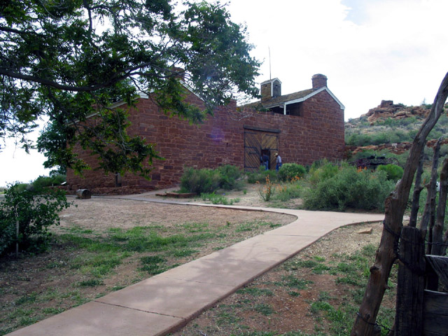
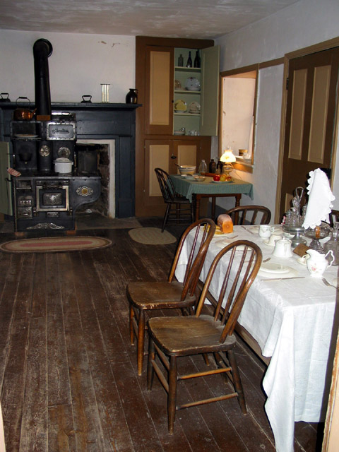
I joined SR-12 near the north part of the lake and followed it up to I-15 and through St George, UT. I followed the small, picturesque SR-9 to SR-59 then into Arizona and Pipe Spring National Monument. Its claim to fame is a cool clear water supply and Arizona’s first telegraph. Pipe Spring was a nice, funky, little unexpected stop. It’s an early Mormon fort like outpost that was (accidentally?) built outside of UT and outside the tolerated bigamy laws. Oops!


Mukuntuweep RV Park on Highway 9

May 8 - The next morning I headed into Zion National Park and luckily I had listened to Patti and had packed an extra camera with film. Unfortunately I didn’t discover that it had a nearly dead battery until I was in the park. Then I found out that the battery I needed was out of stock at the gift shop and was pretty much forced to leave the park without taking many photographs. But trust me, the park is very beautiful and one of my very favorites National Parks.


Zion National Park


The extra time I spent in the Kanab area allowed me to learn a little more about this area. Kanab hails itself as a western movie location. Movies have been made here since 1938. Including The Lone Ranger, Drums Along the Mohawk, Stagecoach, My Friend Flicka, Duel at Diablo, A Rough Night in Jerrico, Bandolero, Planet of the Apes, The Outlaw Josie Wales, How the West was Won, The Apple Dumping Gang Rides Again, and Grizzly Adams. Additionally TV series such as Death Valley Days, Have Gun Will Travel, Route 66, F Troop, Lassie, Daniel Boone, and Gunsmoke were all filmed there.

May 9 - I had planned on driving to the North Rim of the Grand Canyon via SR-67, a nice small paved road but the road was still closed. Not due to snow but that the Arizona DOT was apparently too lazy to get up off their duffs and simply open the road.


Grand Canyon Parashant National Monument - Tuweep
 
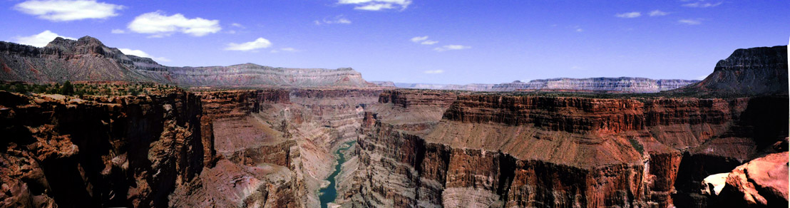
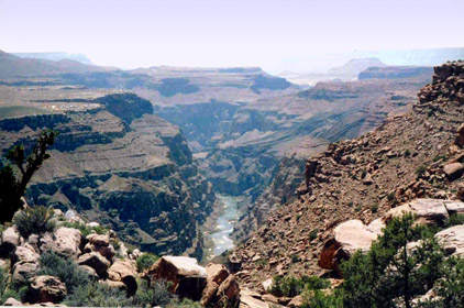
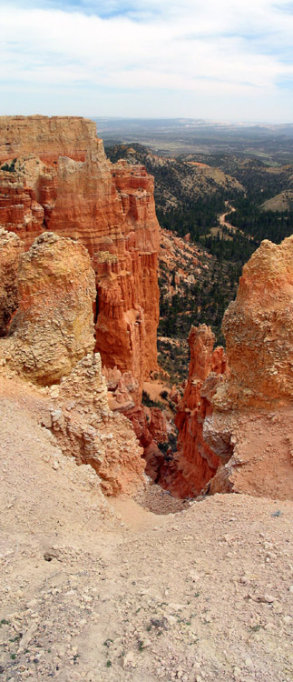
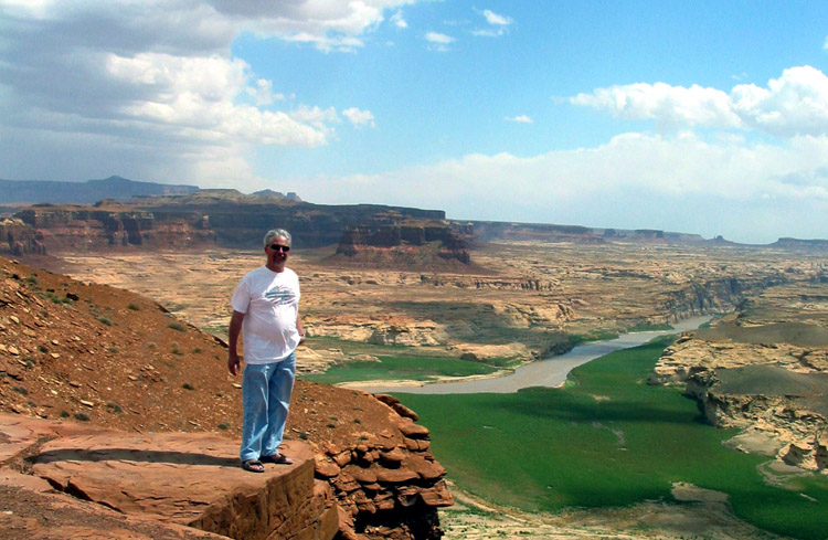
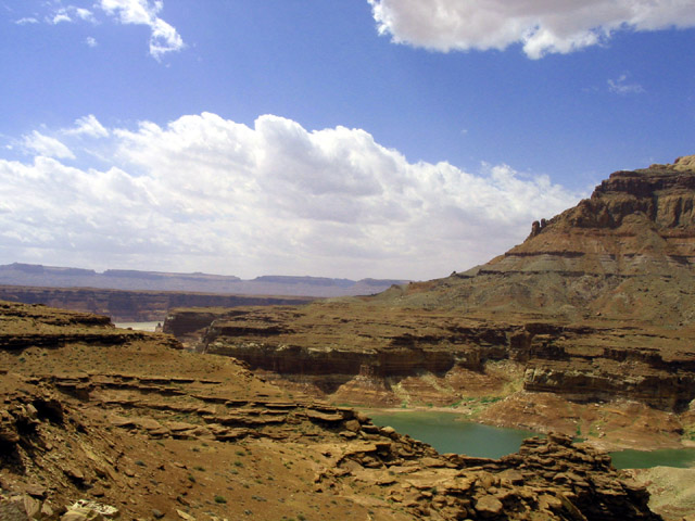
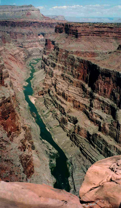
3,000 ft drop to the Colorado River below
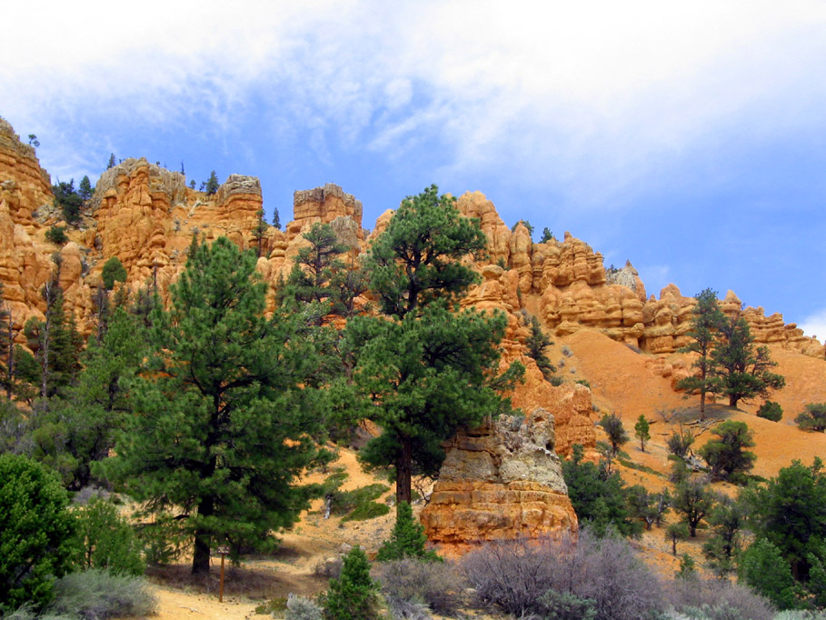
With extra time on my hands and looking for something to do I decided to drive the 65 mile(130 miles roundtrip) primitive, teeth rattling, bone jarring, piece-of-crap road. The first 40 miles was just bad washboard road. The next 10 was worse, next 10 even worse, and the last few miles just large rocks. However, once I arrived at Tuweep (Toroweap) the view is breathtaking! The overlook is a sheer 3000 foot vertical drop to the Colorado River. Very dramatic! Best of all there are no signs, guardrails, fences, or other obstructions to clutter the scene. It is pretty much unaltered and looks much as it has for the last several thousand years.


Dixie National Forest on Highway 63


Bryce Canyon National Park
May 10 - After waiting the whole morning in Mt Carmel, UT the FedEx truck finally arrived. Since the driver was a nice guy I waved and used ALL of my fingers as he drove off. If it had been that little FedEx biddy I talked to on the phone I would have had three fingers and a thumb left over. I headed north on US-89 following Kanab Creek to SR-12 and finally SR-63 into Bryce Canyon National Park.
 

Dixie Nat. Forest
Hmmm? Bryce Canyon National Park was nice, it was interesting, but it just wasn’t what I expected. I thought the drive through the Dixie National Forest was prettier than the park.

Bryce Canyon
National Park
  Maybe it was just my frame of mind and the fact that the park roads were ALL under construction, but for what ever reason I was underwhelmed.

Bryce Canyon National Park
         
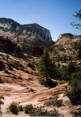
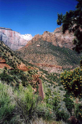
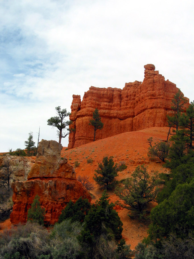
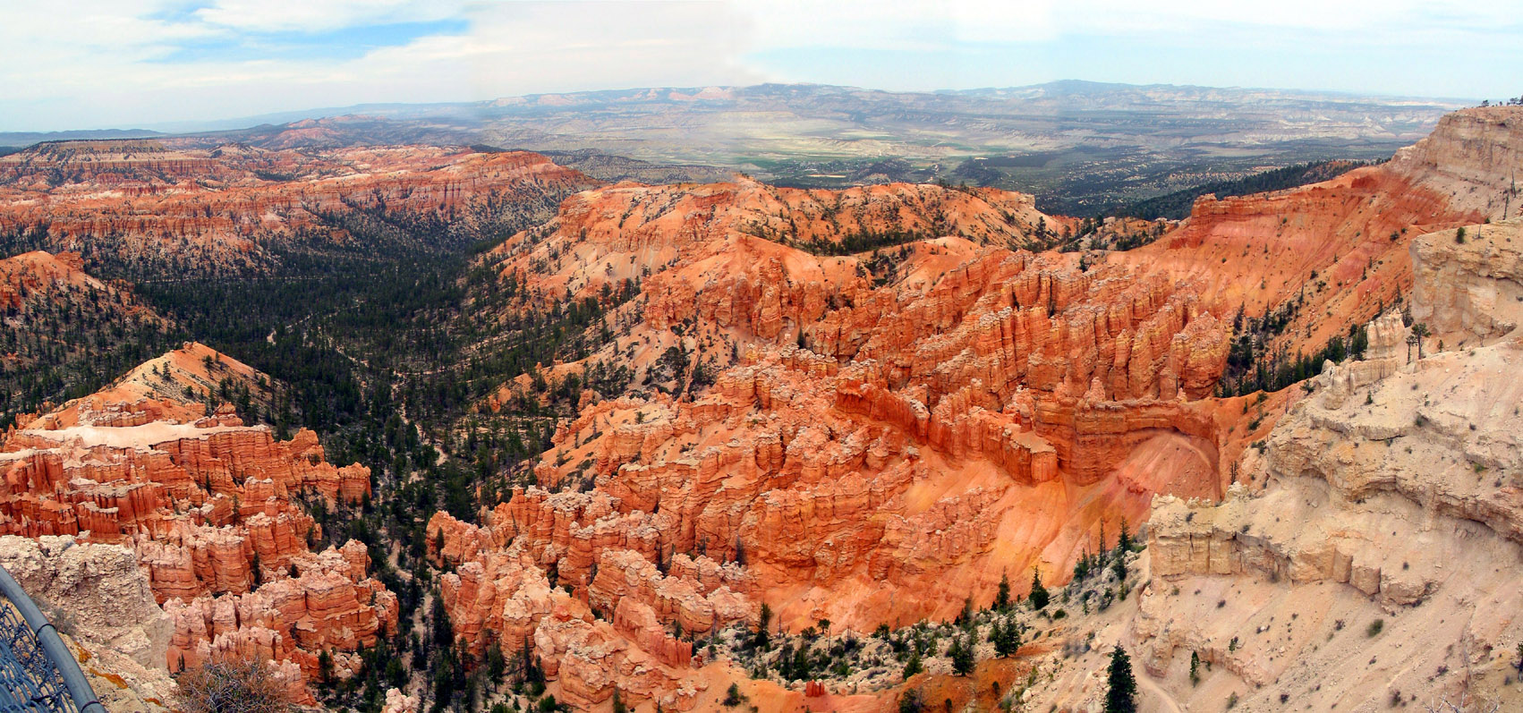
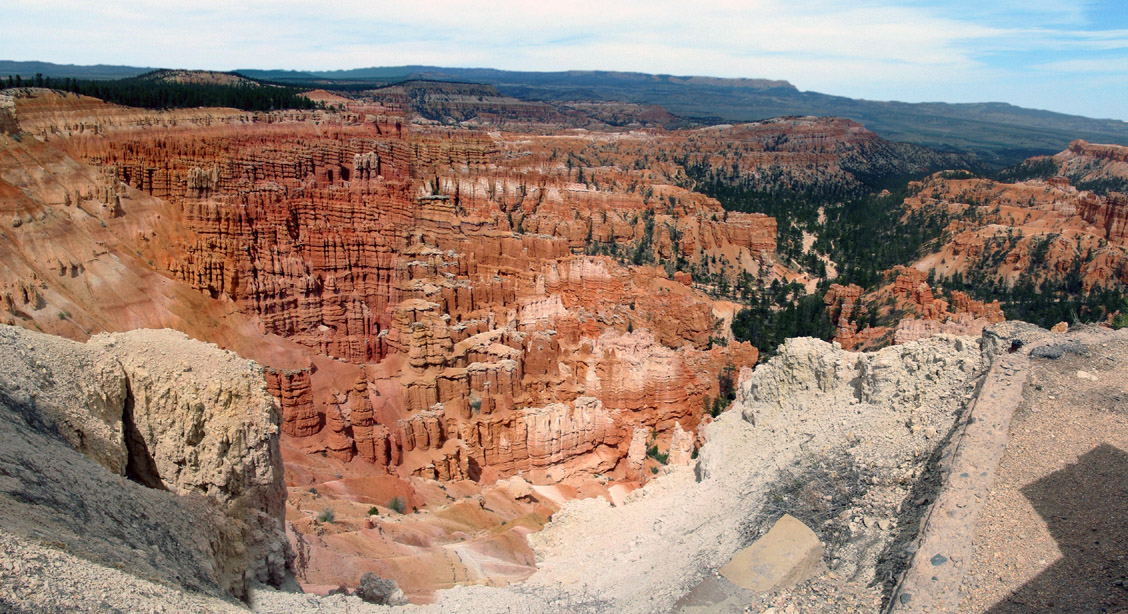
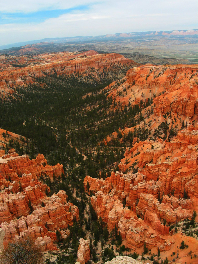
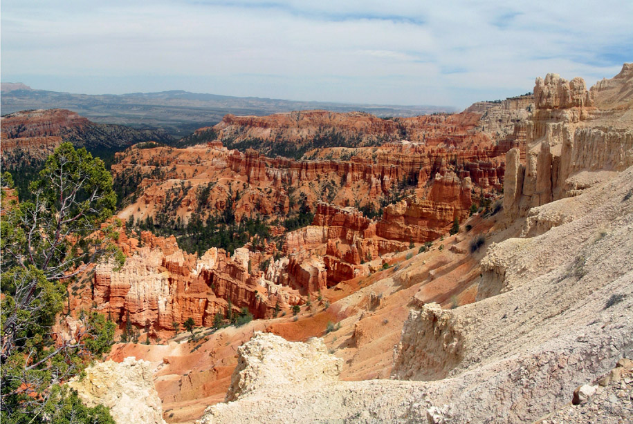
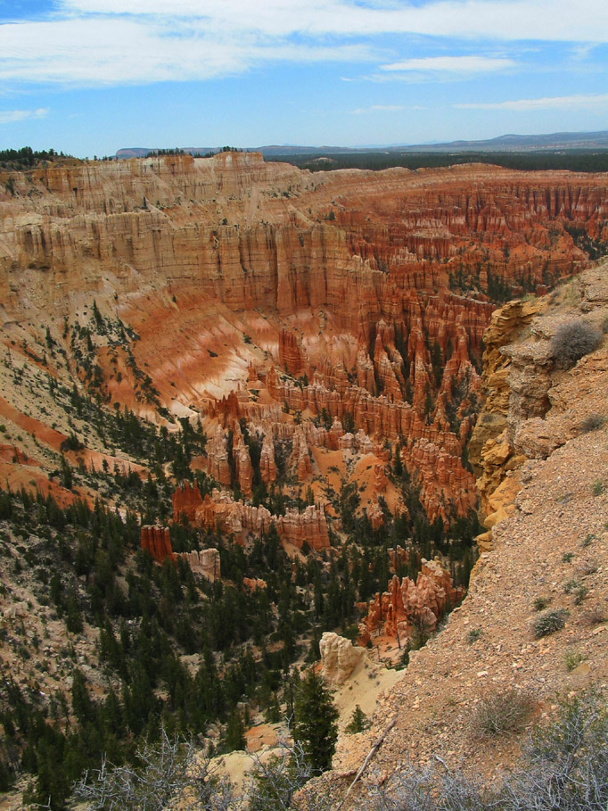
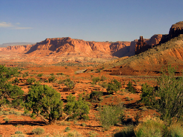
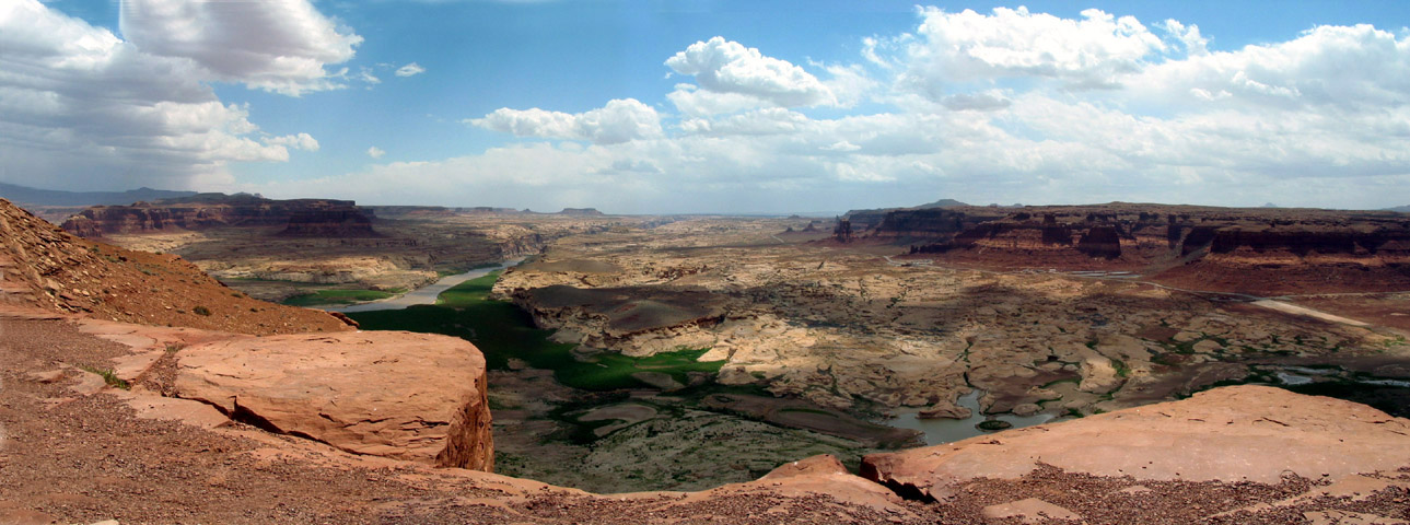
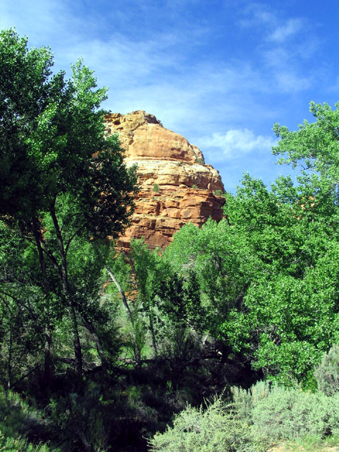
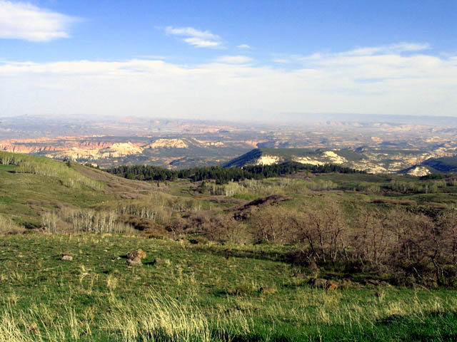
  I headed back to SR-12 and proceeded south crisscrossing Grand Staircase – Escalante National Monument and Dixie National Forest
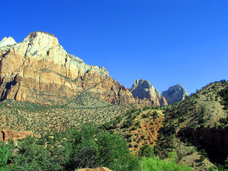
Highway 12 Skyline drive on Highway 12
  through some absolutely beautiful roads that included one stretch that was like a “skyline drive” with steep drop-offs on both sides of the road. Very Cool.
 
  May 11 - I headed east on SR-24 and was surprised early in the morning with Capital Reef National Park. I’d never heard of it until starting out on this trip but what a pleasant surprise.

Highway 24 Capital Reef National Park

Highway 24
 

Highway 24
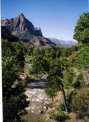
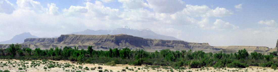
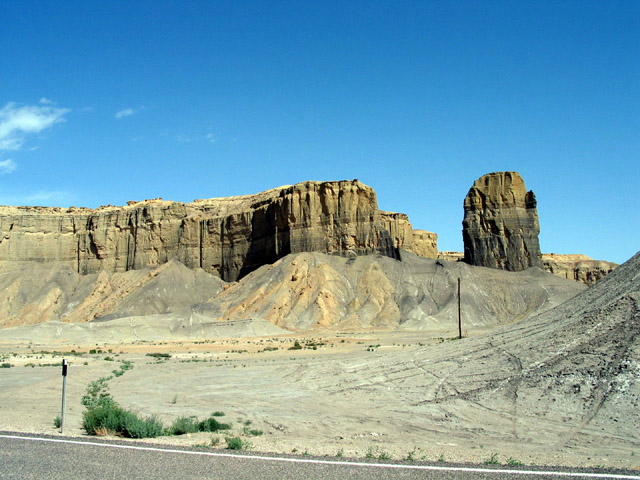
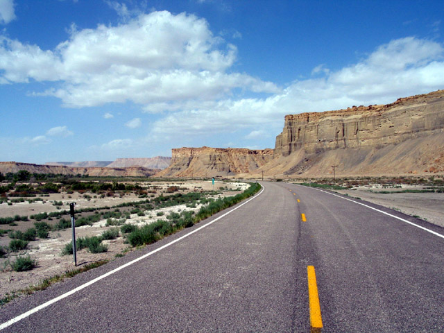
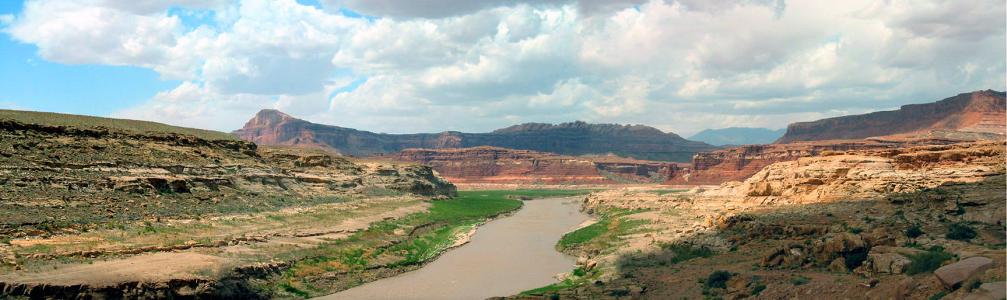
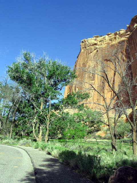
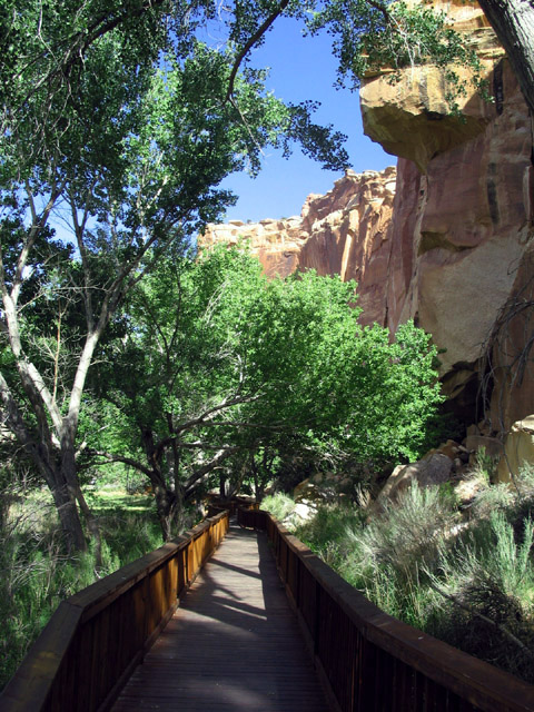
  I can’t say it was one of the big extravaganzas of the trip but its constantly changing terrain following the Fremont River was beautiful and extremely interesting.
Highway 24 Capital Reef National Park
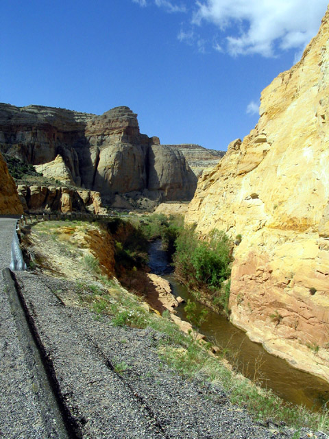
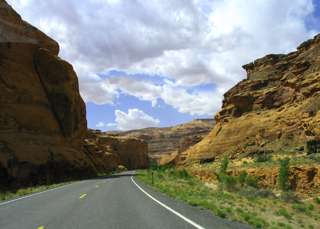
There was also a beautiful little spot that was filled with petroglyphs. I loved it. 

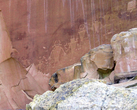
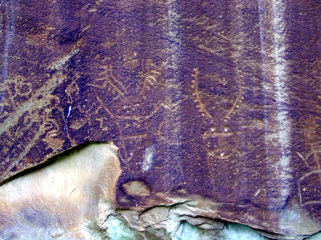
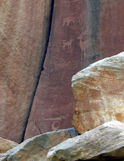
Highway 24 petroglyphs


Highway 24

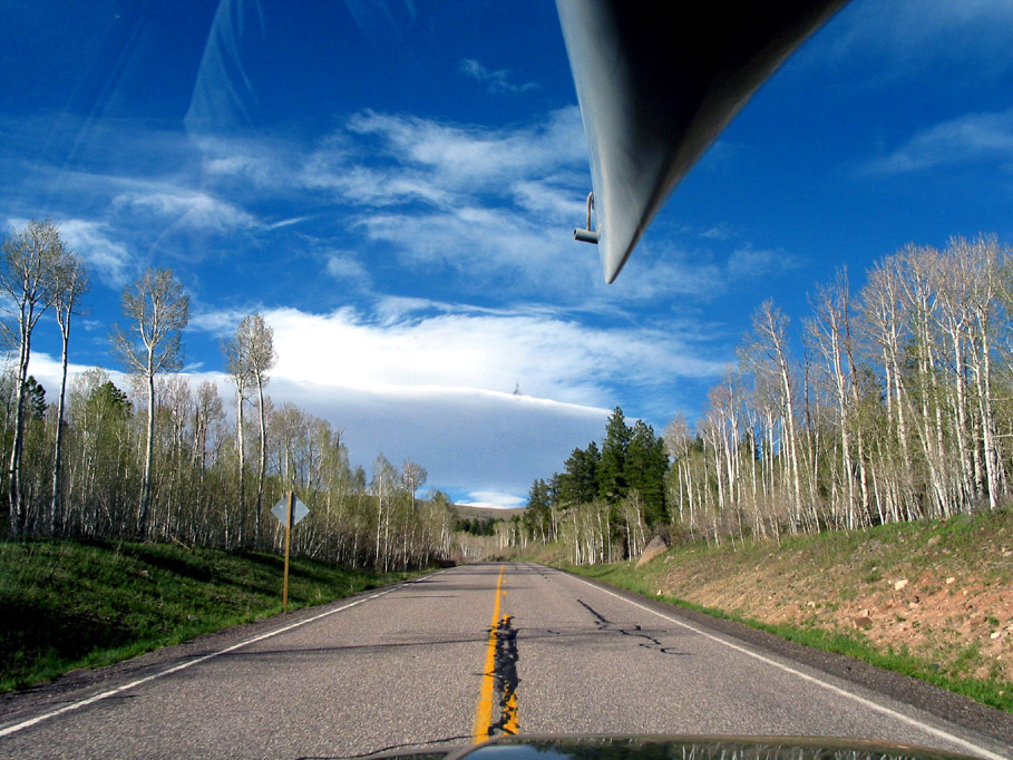
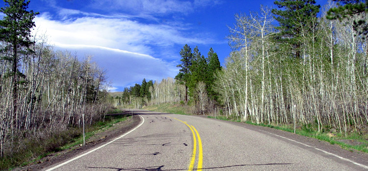
The area either side of the town of Escalante was gorgeous high plateaus with beautiful aspen groves and several mountain passes over 9,000 feet.
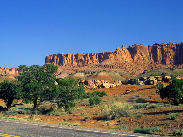

Highway 24
The views got even better as I approached Lake Powell, on SR-95, where the Dirty Devil River emptied into the Colorado River. The wide open vistas were awesome. Wow!


Highway 95


Unfortunately the effects of a long drought have taken its toll on this area. The views from a distance are beautiful but up close the towns, stores, recreation areas, are closed, and the river is WAY DOWN. Near Hite, UT the boat ramp ended at least a city block before the water’s edge.

The weather began to deteriorate as I approached Natural Bridges National Park and skirted the Manti-La Sal National Forest. Unfortunately it didn’t bring any “real” rain to this drought torn land but just made the otherwise photographic views lousy and the wind uncomfortable. So pushed on and arrived in Moab via US-191 in the late afternoon.

Continue to page 3 ---->


Home Page - Page 1 - Page 2 - Page 3 - Page 4
More Travel www.johwall.com/travel/travel.htm


www.johnwall.com

Revised December 15, 2007
email: john@johnwall.com